Settings
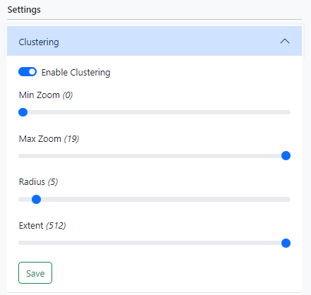
Clustering
Clustering is used to group nearby markers together.
|
Project
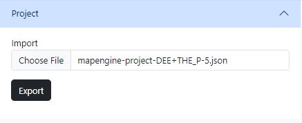
Exporting
Clicking the Export button will save your sources and layers to a file and download it to your device.
Importing
Clicking the Choose file button will prompt you to upload a MapEngine export file. The application will remove any existing data and rebuild the sources and layers (including their visibility, style, target filter, and relationships) contained in the export file.


