Sources
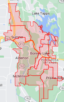
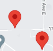
Sources provide visual data for the map. There are currently 2 types of sources:
- Records: Represented by markers
-
- GeoJSON: Represented by shapes or boundaries
-
Records
Skyward typically exports data in CSV format, however there are many free online tools which can convert CSV files to JSON
| CSV | JSON |
|
|
GeoJSON
 |
A GeoJSON source is a file which defines geospatial features (e.g school boundaries) in the GeoJSON format. A repository of optimized SBLSD boundary files can be downloaded from github.com/sblsd/gis. |

